First Alert Forecast: Feeling more like late summer for the next few days!
[News10NBC]
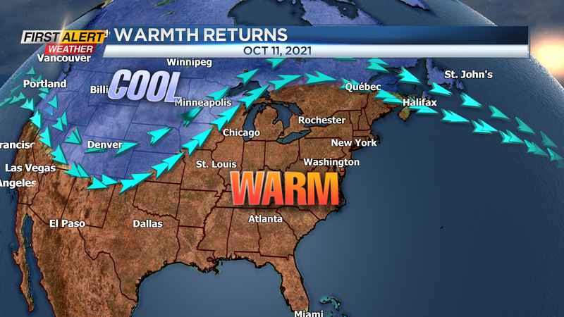
ROCHESTER, N.Y. (WHEC) — Today will make eight days in a row with unseasonably warm weather and it appears we are only halfway through this warm spell!
Skies were a little threatening at times today, but any precipitation was limited to just a few sprinkles or a brief light shower. The same can be said for this evening’s weather. Any rain for the early evening will be limited to another sprinkle or a brief light shower. Otherwise, look for mostly cloudy skies and it will be very mild for an October night with lows only near 60 degrees. Sunday will bring some early morning clouds with partial sunshine developing. Again, it will be warm for October with highs in the low 70s.
Columbus Day should bring some fine weather for the children off from school. Monday will feature mostly sunny skies, and it will again feel more like a late summer day for Western New York. The temperature will rise to near 80 degrees, which will be short of the record of 89 degrees set back in 1949. Tuesday, the heat will continue and the temperature may be a little closer to the record high temperature. The News 10NBC First Alert meteorologists are expecting a high temperature again near 80 degrees. The record is 84 degrees set way back in 1938.
Wednesday may produce a few scattered “hit and miss” showers, but nothing of any consequence as any wet weather will be limited. Again, the temperature will still be in the low 70s. Looks like the warmth will continue through the end of the workweek with cooler weather slowly returning for next weekend.