First Alert Weather: Chillier weekend on the way
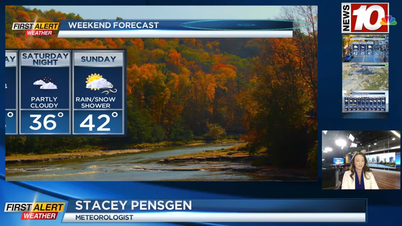
A cold front pushing through puts an end to the rain tonight, while also pulling in much cooler air for the weekend. We’ll see a clearing sky overnight, setting us up for some sunshine on Saturday. Temperatures will fall into the 30s by morning, and only rise into the lower 40s during the afternoon. Sunday will see another weak front drop through, which will trigger a minor lake response, with a few rain or wet snow showers, especially into the early afternoon, before drier air wins out. Highs on Sunday will also hold in the lower 40s with a brisk breeze.
Thanksgiving week turns more active. Monday will be dry with sunshine and cool air. Our next system moves in on Tuesday, with rain likely. We may see the showers start off as a mix, but expect primarily rain. Then cooler air begins to wrap in by Wednesday, changing the rain over to some wet snow. By the time it is cold enough for snow, most of the moisture will be east, so we don’t expect much accumulation, if any. That may begin to change as some lake effect begins to set up late Wednesday into early Thursday. Details are still fuzzy, and model guidance is hinting at a lower impact event, but it is still worth monitoring as we get closer, as it could possibly impact Thanksgiving travel around western New York. Stay tuned.