First Alert Weather: Yellow Alert is now posted for Tuesday
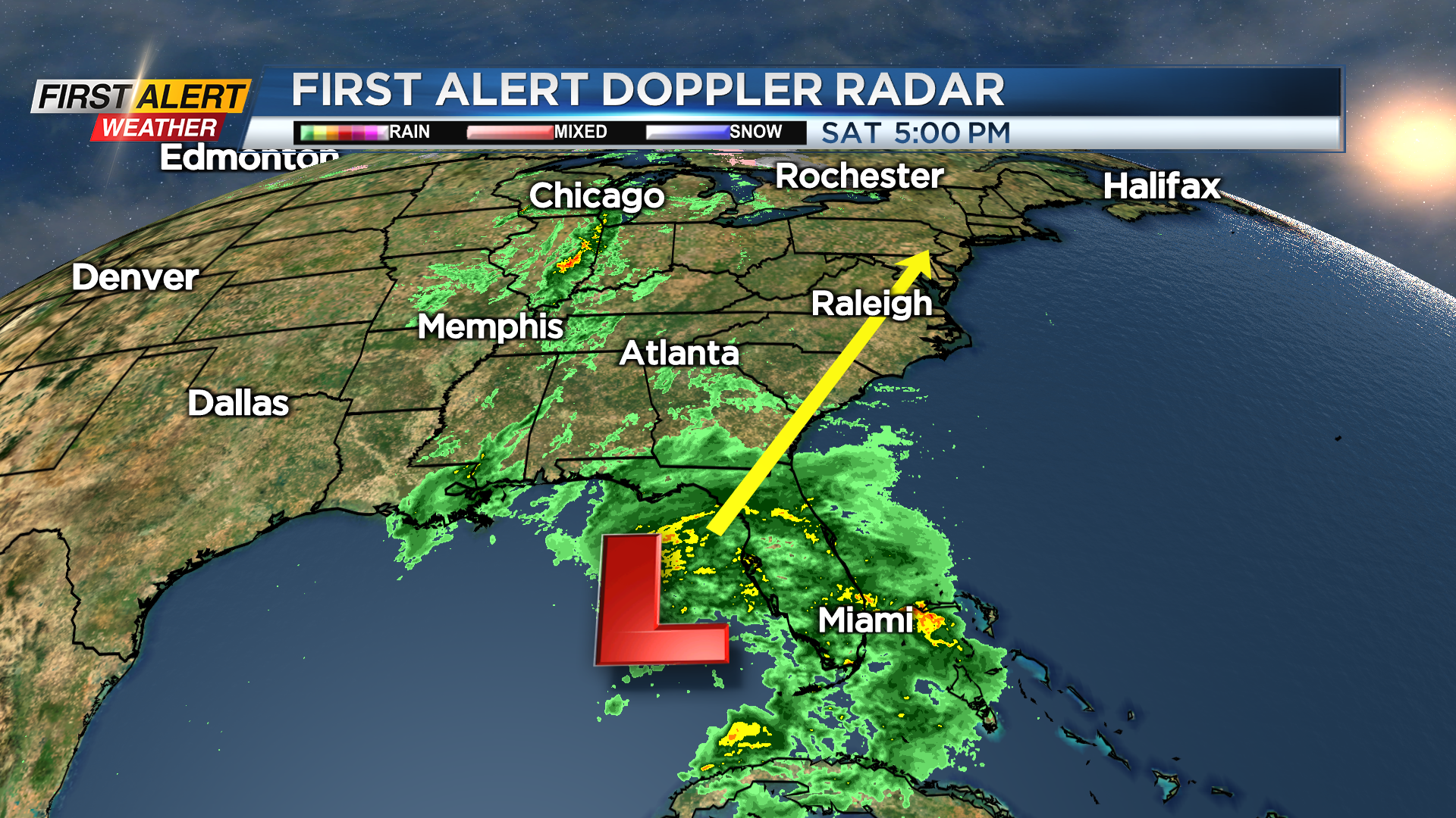
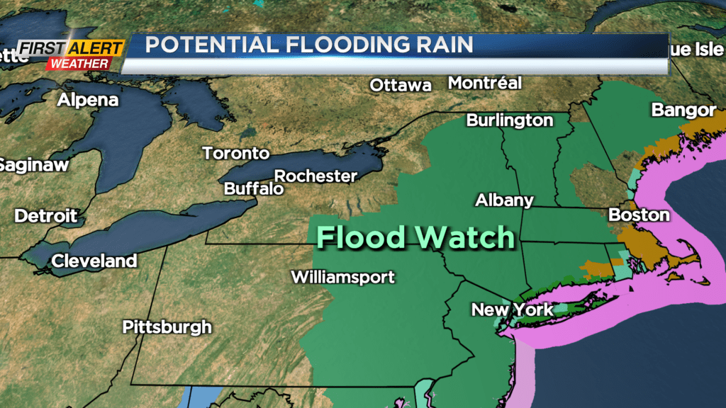
ROCHESTER, N.Y. – A low-pressure system now located in the Gulf of Mexico will deepen and get stronger as it rolls-up the east coast. This storm will have tremendous amounts of moisture as moves into the mid-Atlantic and eventually New England states over the next 48 hours. Flood watches are in effect for central and eastern New York State where one to three inches of heavy rain could fall. Western New York will be on the edge of this storm and, as a result, rainfall amounts will be much less with no flooding expected at this time for Rochester. As this storm moves away later Monday, colder air will arrive for Monday night and Tuesday. It now appears there is the likelihood for accumulating snow later Monday night into Tuesday morning. The News 10NBC First Alert meteorologists have issued a yellow alert for Tuesday morning.
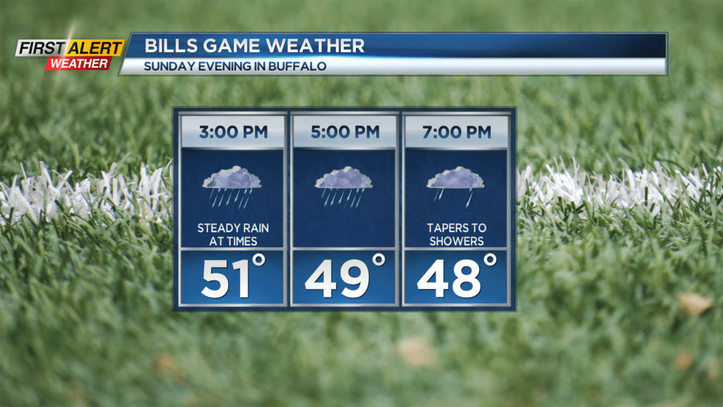
Sunday night, look for mostly cloudy skies. It will be dry and mild with the low temperature in the lower 40s. Sunday will bring cloudy skies with rain developing by the afternoon. It will still be mild for December with the temperature climbs into the lower 50s. Steady rain is likely for Sunday night with wet weather expected for much of the Buffalo Bills game. Then Monday more “off and on” showers will be possible as the temperature falls through the 40s. Monday night and Tuesday will be windy and much colder. It is possible that much of Western New York will find accumulating snow heading into Tuesday Morning. This does not appear to be a big snow event, but the Tuesday morning commute could be a challenge. Early indications show an accumulation of two to four inches is possible by midday on Tuesday. Much of day will remain in the 20s.
Stay tuned to News 10NBC First Alert weather for updates on the forecast.