First-Alert Weather: New year, somewhat different weather pattern …

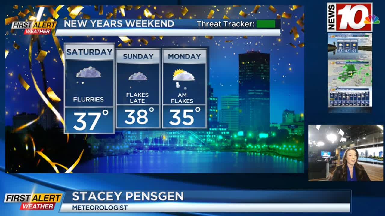
The last few days of 2023 and the first few days of 2024 will feature more of a winter feel than we’ve had recently. A cold front dropping south overnight will bring an uptick in rain and wet snow showers, eventually changing over to a brief period of wet snow. Temperatures will be just a little too warm to see much accumulation, but a coating is possible by the time you wake up Saturday morning. You’ll certainly feel a difference, with highs both Saturday and Sunday in the middle 30s, which is much more seasonable for late December than the 40s and 50s we’ve had much of this last week of the year. We’ll also see some off-and-on flurries on Saturday, with another fast-moving disturbance bringing some wet snow showers late on Sunday.
None of this should amount to much (if any) accumulation, but we’ll see some festive flakes in the air as we welcome in 2024. Prior to that, if you’re going to the Bills game in Orchard Park on Sunday, most of the game should be rain/snow-free, with a typical December chill with temperatures in the 30s. A few wet snow showers may sneak in for the last quarter.
We welcome in the new year with a slight chill. Temperatures on Monday will hold in the lower half of the 30s and a few lake snow showers early, but once again, no accumulation is expected. We’ll finally see some nice sunshine on Tuesday, before clouding up ahead of our next weak system. This one will likely bring some wet snow showers in late on Wednesday, followed by a better chance for at least some minor lake effect and chillier air to end the first week of 2024. So, it’ll start to feel more like winter again, but we’re still looking for our first real snowstorm of the season.