First Alert Weather: Heavy rain possible for Wednesday afternoon
ROCHESTER, N.Y. — It’s a cool and cloudy start to our Wednesday, but a dry start. We will remain dry through the majority of the morning before showers and storms begin to pop in the afternoon.
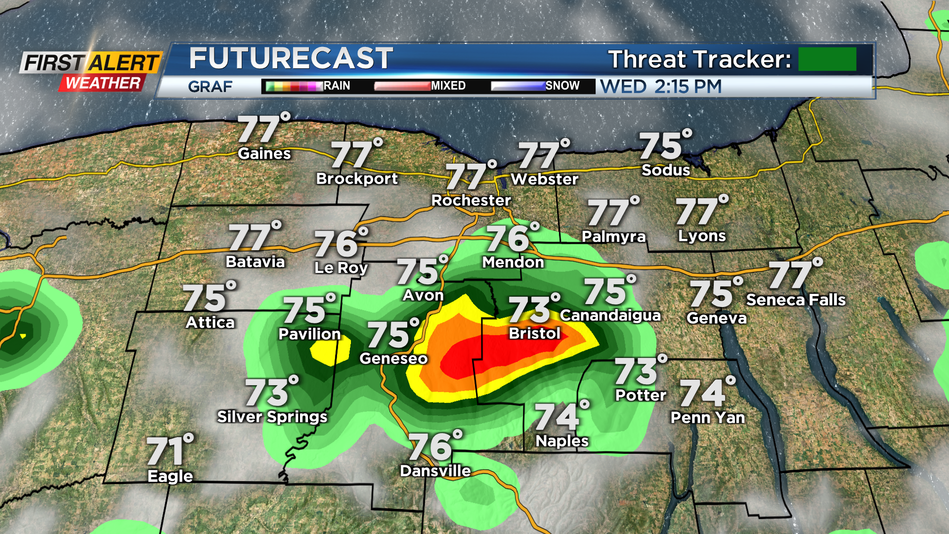
Just like Tuesday, isolated and scattered showers and storms will pop in the afternoon. The storms will move slowly across our region. This means we will watch out for limited visibility on area roadways, and the opportunity for localized flooding.
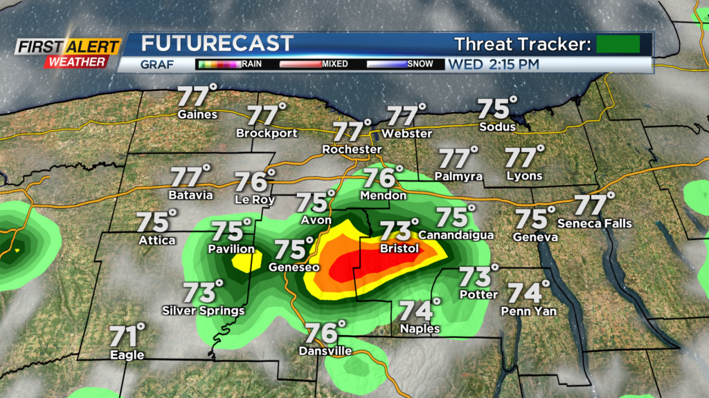
Widespread flooding is not expected, but areas that are underneath a storm for a good amount of time will have an opportunity for minor flooding. Storm chances will continue through Wednesday afternoon hours before storms begin to dissipate this evening. Otherwise, most of today will feature a mixture of sun and clouds with highs in the mid and upper 70s.
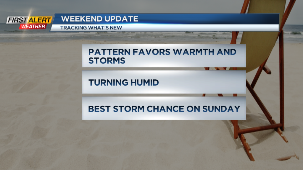
Another chance for a storm or two will come on Thursday afternoon before we get a break from the action on Friday. This break does not last too long as the pattern for this weekend will favor another round of storms Saturday and Sunday.
An area of low pressure will once again hang out off the East Coast this weekend with isolated storms Saturday, and then a cold front advances from the wets for a better chance for storms Sunday. We are not expecting a washout Saturday nor Sunday, but we will need to keep our eyes to the sky this weekend.
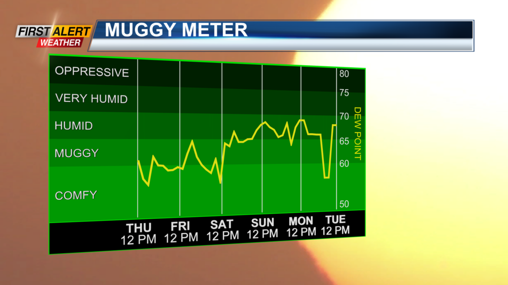
Also this weekend, we will see the dew points and temperatures rise. Highs this weekend will reach the mid and upper 80s wit the dew points making their way back into the low and mid 60s.
Even with the heat and humidity in place, no severe weather is expected at this time but we will once again watch for some heavier rain to roll through.
______________
Download the WHEC First Alert Weather app to stay up to date while on the go.
Watch the latest full forecast online.