First Alert Weather: Snow Moving in This Evening

A low pressure system will move in this evening, bringing widespread but manageable snow with it.
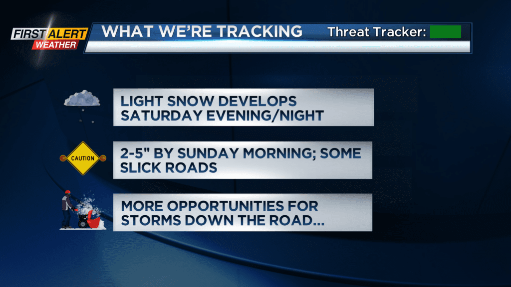
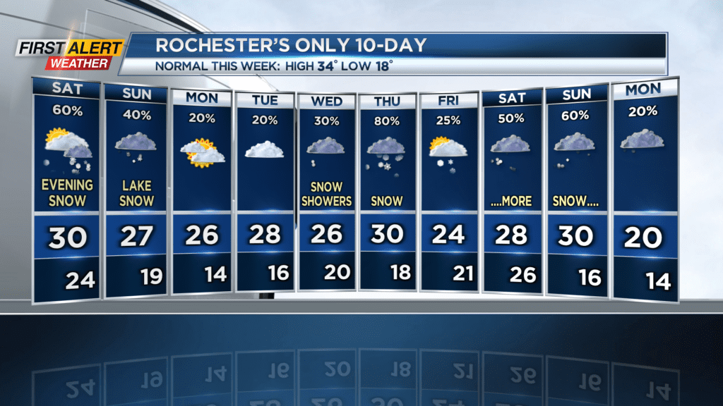
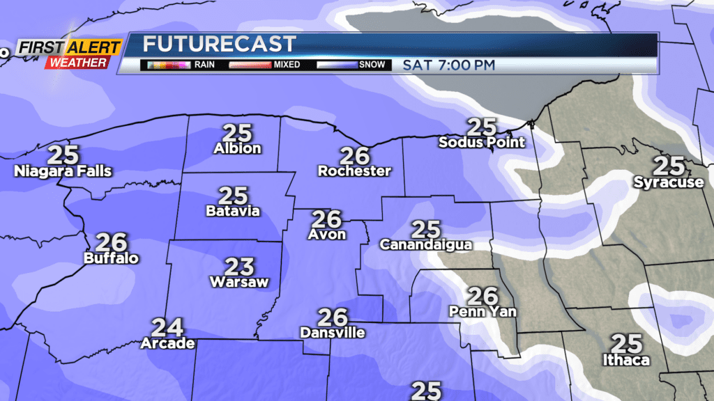
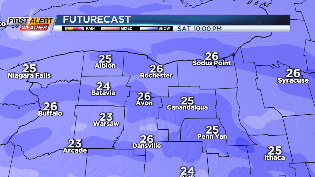
ROCHESTER, N.Y. We’ve been on track to finally have a normal winter again snowfall-wise, but the majority of that snow has been day to day light lake flakes. Our pattern is about to flare up however, with several large scale systems in the forecast over the next ten days. The first one arrives tonight. This should be a manageable wintermaker, with snowfall totals in the 2-5 inch range. Some local spots could see a little more, as there will be a little lake enhancement at play later in the night. If you’re going out tonight, be aware of light to moderate snowfall and slick, snow-covered roads at times.
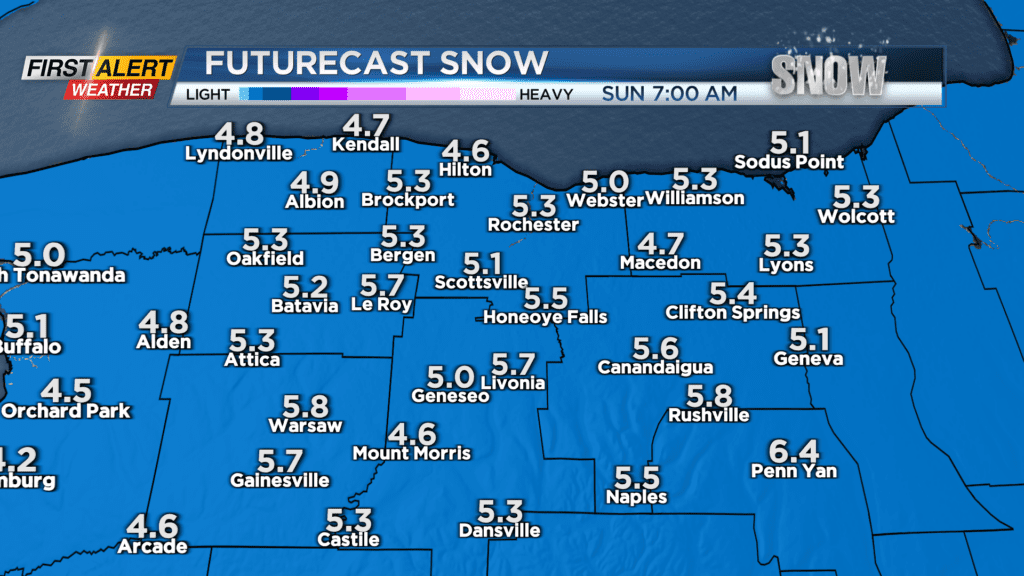
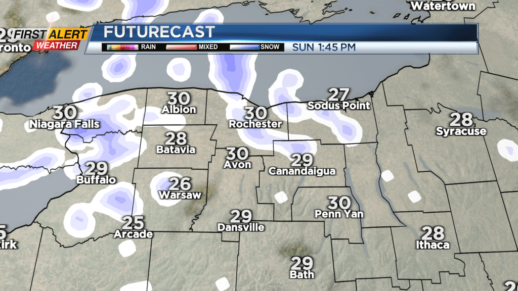
After the system passes overnight, north to west wind takes over Sunday, which means we’ll see some lake effect snow showers. This shouldn’t be anything too bad either, with a dusting to another inch expected. Later on Sunday, a more defined lake effect snow band develops southeast of the lake, meaning the northeastern corner of Wayne County will see several more inches (possibly up to 10″ in total snow depth) by 7am Monday.
Our winter weather pattern continues to sport some large scale systems over the next ten days as the jet stream settles into a slanted position going from Texas up into the Northeast. The two big chances for snow are Thursday and Saturday/Sunday; we’ll continue to track the development of these storms and let you know when and where they’ll be. But for now, just know that we will be getting some snow tonight in the 2-5″ range, with locally higher amounts. Be careful if you’re going out tonight, as roads and sidewalks will be slick at times.