First Alert Weather: Snow for some, but cold for all tonight & Wednesday
[News10NBC]
ROCHESTER, N.Y. (WHEC) — Another blast of cold air is moving into Western New York.
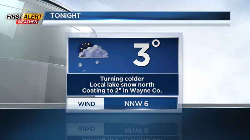
This has allowed a band of lake effect snow to organize over Lake Ontario. This will hover near the Lake Ontario shoreline from Orleans to Wayne Counties tonight, then briefly push south and inland. This will deliver a coating to an inch for most, with the most persistent snow focusing in on norther and eastern Wayne County.
The winds will shift out of the north and east on Wednesday and become fairly light. This will allow lake effect snow to once again focus in within a few miles of Lake Ontario. This is where we may see another coating to an inch or two on Wednesday, before lifting back north over the lake by evening. In all, expect another nuisance snow for some, with just an additional dusting for most over the next 24 hours.
The bigger story will be the cold air that everybody will have to endure. Temperatures will drop into the lower single digits by Wednesday morning and hover in the lower teens by Wednesday afternoon. With a clearing sky Wednesday night, many spots will dip just below zero, before a wind shift out of the south may help to bring us back above freezing by Thursday morning.
Despite a frigid start to Thursday, we’ll warm back into the 20s with mainly dry weather and some sun, especially early. But that "mild" air is short-lived. Another cold front drops through WNY on Friday, dropping us back into the teens with more snow showers and light snow.
A weekend storm looks to remain offshore: A big Nor’easter is forecast to move up the East Coast, and strengthen rapidly. This will be a major impact for the big cities along the coast with heavy snow and wind, but the track of it at this point keeps it far enough away from the Finger Lakes and Western New York to have little to no impact on us. It is far enough away, that the track still bears watching. If it shifts slightly west, we may see a little snow in the Finger Lakes, but that looks unlikely at this point. We may get a little bit of lake effect snow off of a northeasterly wind on Saturday, but that appears to be the extent of it. So, while we may not get much wintry precipitation this weekend, we’ll certainly feel the chill, with highs likely remaining in the teens much of this weekend.
Warmth on the way: If you’re tired of this big chill, there are signs that we may warm back above freezing, perhaps into the 40s by mid to late next week. This may even come with some rain showers. This would certainly help to melt some of the snow that has been slowly but steadily piling up.
_____________________
Download the WHEC First Alert Weather app to stay up to date while on the go.
Watch the latest full forecast at whec.com/weather.