First Alert Weather: Threat for flooding rain has ended.
[News10NBC]
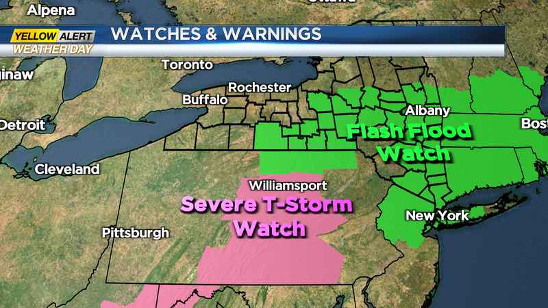
ROCHESTER, N.Y. (WHEC) — The New10NBC Weather Alert Team has discontinued the Yellow Alert Day for Rochester this evening.
Fortunately, the heavier rain did stay well south and east of the Rochester area today. Portions of the Southern Tier of New York State did measure an inch or more of rain, and the Binghamton area has seen some flooding of small creeks and streams. Western New York could still see a thundershower and a downpour overnight, but the threat of localized flooding will be greatly reduced.
Muggy conditions will remain across the viewing area through the rest of this week with dew points in the upper 60s to near 70° right into Friday. This will also come with the chance for a thunderstorm each afternoon for the majority of the week. Be on the lookout for an isolated storm that will likely pop during the afternoon hours. These pop-up thunderstorms will bring the possibility of embedded pockets of heavy rain. The general forecast shows some typical mid-summer weather for all of Western New York with very little relief from the heat and higher humidity until next weekend.
——
Download the WHEC First Alert Weather app to stay up to date while on the go.
Watch the latest full forecast at whec.com/weather.