First Alert Weather: Active last few days of March with rain, snow and wind this week
[anvplayer video=”5169798″ station=”998131″]
ROCHESTER, N.Y. March will be going out like a lion, with a series of cold fronts and disturbances moving through.
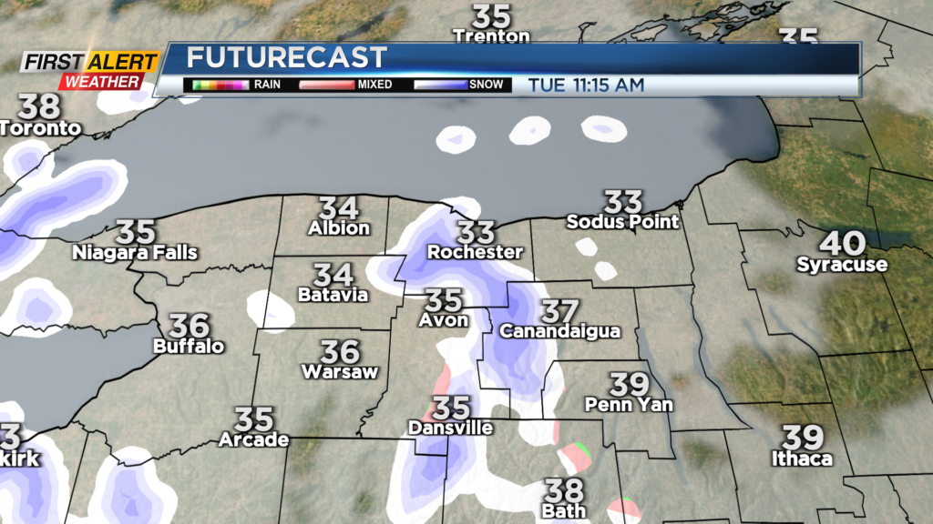
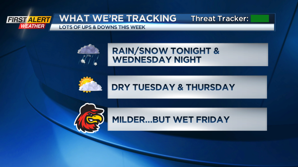
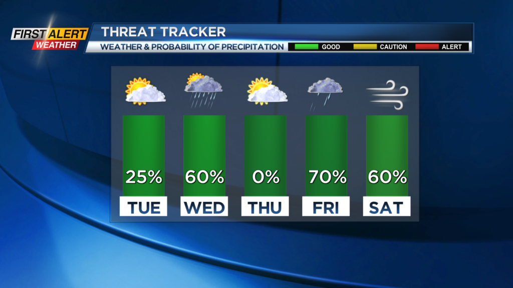
The rain and wet snow we have around Monday evening will end overnight, with no accumulation. The exception will be the higher terrain of the Finger Lakes and Southern Tier, with a slushy coating to an inch. Tuesday will feature a return to some sunshine and temperatures topping out in the lower 40s.
Most of Wednesday will be dry with some sun, but a fast-moving and powerful cold front will whip up the winds as it passes through by evening and bring a mix of rain and wet snow. This may briefly reduce visibility for the Wednesday evening commute, but with surface temperatures in the upper 40s and lower 50s much of the day, accumulating snow on roads won’t be a concern.


Thursday will be another fairly quiet day with some sun and dry weather before our next storm moves in on Friday. This one will bring milder air with temperatures in the lower 50s, but off and on rain showers. So, the Red Wings’ “50-Degree Guarantee” may be a success, but we’ll have to deal with wet conditions at times.
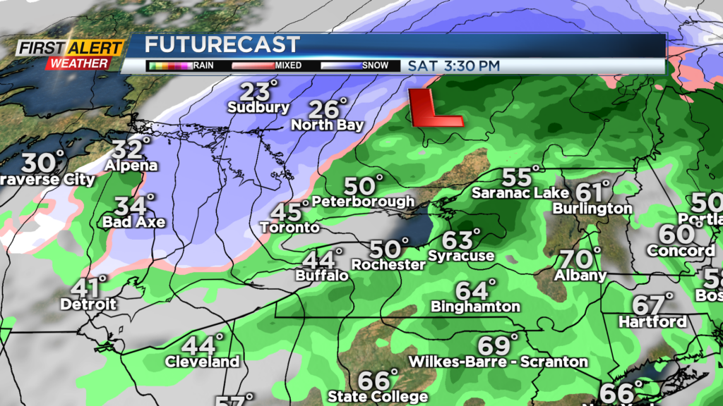
We’re watching the potential for some gusty winds on Saturday, as the cold front moves through. Temperatures should drop back from the 50s into the 40s and 30s by afternoon and evening. Depending on the strength and track of the low, we may deal with another round of strong winds.
This is still more than five days out, but we’ll be monitoring the trends. A Yellow Alert may be needed for Saturday if the trends point to a round of strong winds.