First Alert Weather: Cool and comfortable night leads into more summer warmth Tuesday
High pressure building behind our departing area of low pressure will keep our sky clear overnight, and dew points low, which will lead to a very comfortable night with “windows open” kind of temperatures!
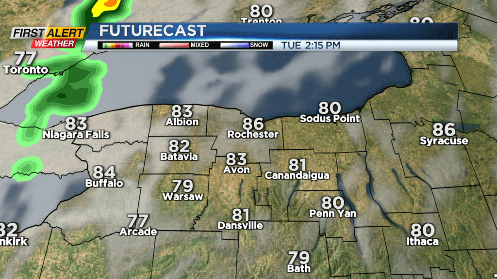
High pressure slides east on Tuesday, allowing warmer air and a warm front to move back in. Humidity levels will slowly begin to climb again, while temperatures rise into the mid 80s. While most if it not all of the day will be dry, the warm front may be accompanied by a brief shower or rumble of thunder late Tuesday evening and overnight.
We’ll feel more humidity, and a much better chance for some showers and storms on Wednesday, with the arrival of our next cold front. Coverage of wet weather looks to be concentrated once again south of Rochester in the Finger Lakes. While this doesn’t necessarily mean Rochester stays dry, the Finger Lakes Region will once again have the best chance for some storms.

High pressure will once again build in behind this cold front, bringing another round of very comfortable air with a clearing sky on Thursday, followed by seasonably warm air on Friday.
If you’re looking ahead to the weekend, at this point we need to plan on some showers and storms on Saturday, with a clearing sky on Sunday. While our weather pattern is a busy one, we don’t see any Yellow or Red Alert days in the forecast, as storms don’t appear to rise to that level as of yet. We’ll keep you posted if that changes for Wednesday or Saturday.