First Alert Weather: Friday starts wet, ends white
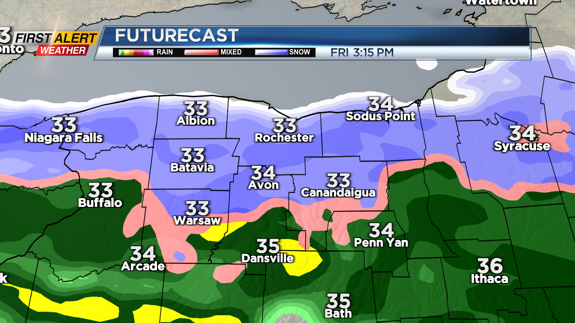
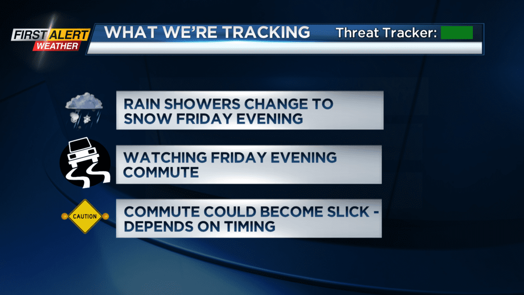
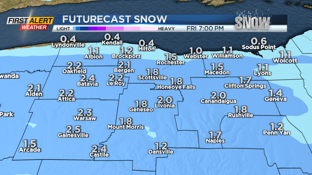
ROCHESTER, N.Y. – A storm system ejecting out of the south will meet up with colder air over the Great Lakes on Friday. Initially, the Rochester region will see rain showers Friday morning. But as that cold air begins to seep in, rain will mix with, and eventually change over to wet snow. This should happen sometime during the late afternoon or evening hours. There are no issues for the Friday morning commute, but the evening commute may turn a little slippery, depending on exactly when the rain changes over to snow. We’ll be monitoring the timing, and a brief Yellow Alert may be needed for a few hours during the evening commute. In all, accumulations should be minor, with most only seeing a few inches. But, with surface temperatures hovering around freezing, it’ll be a heavy and greasy snow that makes the roads slick.

Much colder air pours in to start the weekend, with highs in the teens on Saturday, along with some limited light flurries off of Lake Ontario, giving way to some sunshine. A partly cloudy sky to start Saturday night means it’ll be a chilly night, with some spots dipping into the single digits. But clouds will thicken up overnight ahead of our next system. A warm front will then bump our temperatures up into the 30s by Sunday evening, with a few flurries developing.
Our weather may become more complicated next week, with a stationary front nearby, separating cold air north, from much warmer air south. This has the potential to set the stage for some wintry mixed precipitation at times, before turning chillier again late week.