First Alert Weather: Springtime temperatures and rain on Sunday
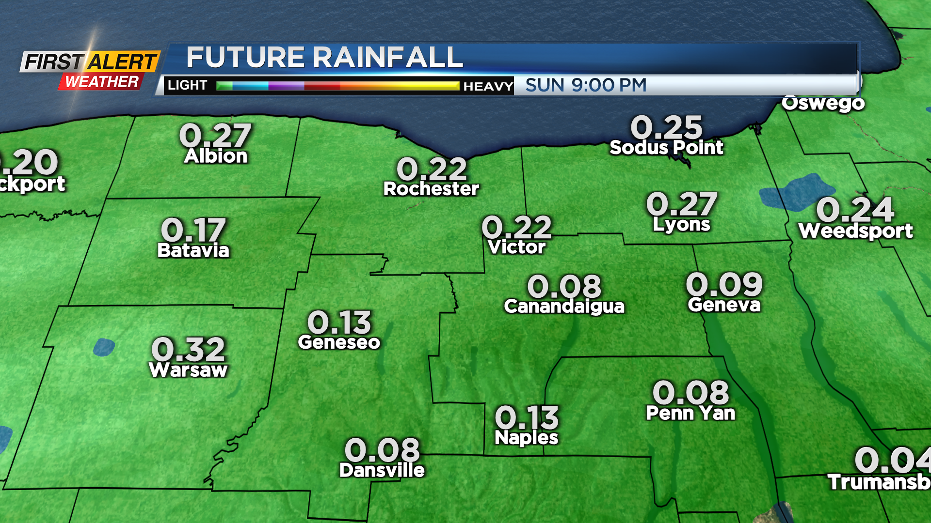
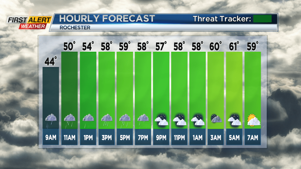
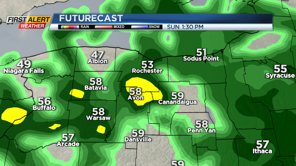
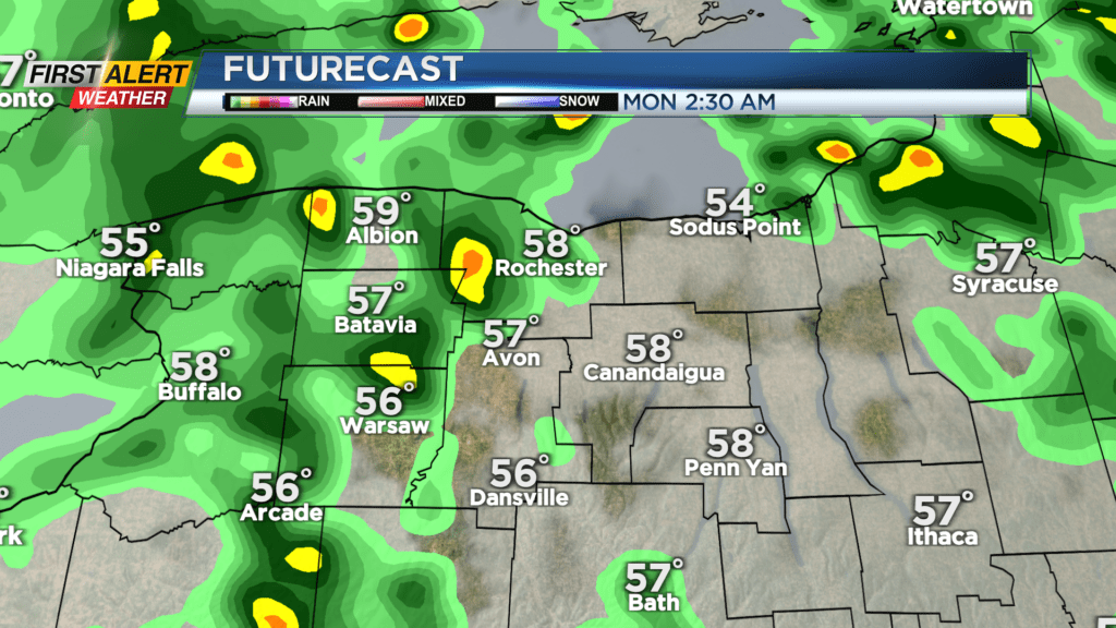
ROCHESTER, N.Y. – The threat for freezing rain has ended as temperatures across WNY are beginning to climb above freezing on Sunday. You’ll see a meteoric rise all the way up to the 50s in the afternoon, and even 60 going into Sunday night. This will be accompanied by some springtime rain showers that will last pretty much all day.
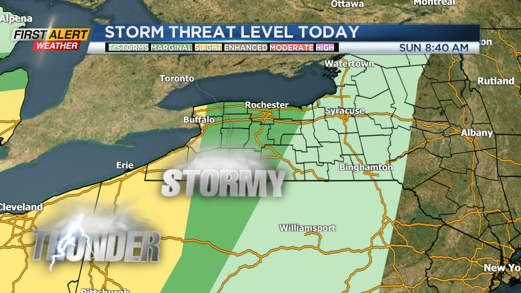
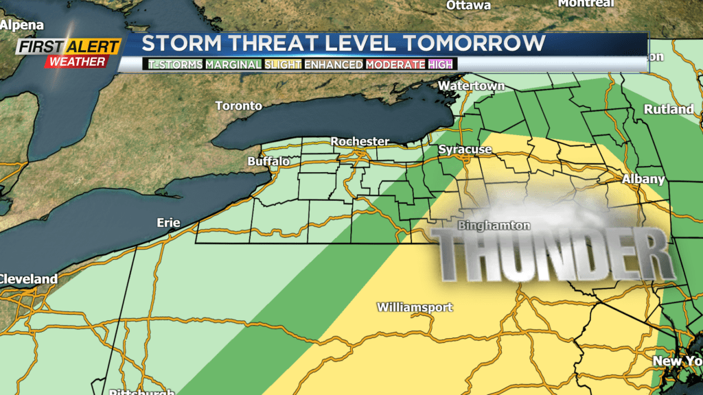
This is all happening ahead of a strong cold front, which is currently sitting west of the Mississippi. As that front draws near, thunderstorms will be possible overnight. These are not forecasted to be particularly strong due to a lack of sufficient instability in the atmosphere, but don’t be surprised if you’re awoken by some rumbling thunder.
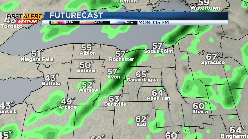
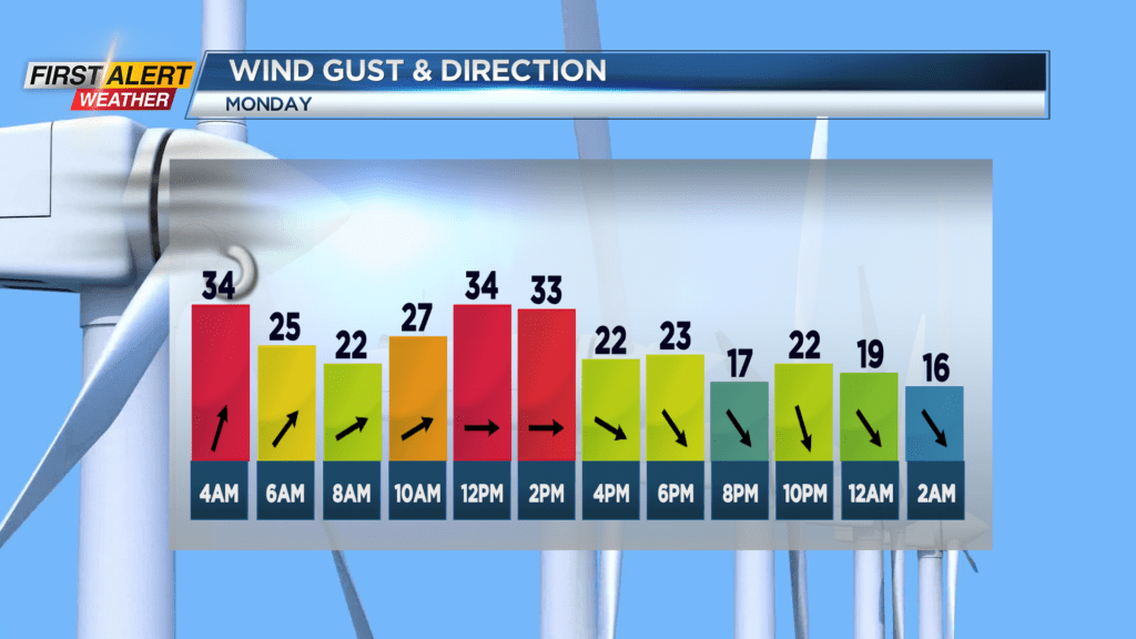
Temperatures on Monday will start out very mild at 60 degrees and there will be another chance for a thunderstorm later in the morning, then after the cold front passes temperatures will take a nosedive. By sunset on Monday, we will be in the low 40s to high 30s. Tuesday morning is cold, with chances for lake flakes as northwest wind takes over. Only a light coating is expected at the very worst. Skies will clear relatively quickly, making for a nice, clear albeit cold day for some Red Wings baseball.
Stay tuned to News10 NBC for all your First Alert Weather updates.