First Alert Weather In-Depth: Visibility and our air quality

ROCHESTER, N.Y. -When the News10NBC First Alert meteorologists talk about weather and poor visibility, it is usually in regards to snow, fog, or a heavy torrential downpour of rain. However, lately it has been the residual smoke from the Canadian wildfires that has been the problem.
We can use a satellite image as an observational tool to differentiate between the clouds and smoke. On the visible satellite picture, the clouds usually look like bright white cotton balls, but the smoke appears much more defuse and is more like white streaks across the atmosphere. It is not easy to discern the difference to the untrained eye. Recently some of that smoke has been coming down to the surface of the Earth, and that has had an impact on our air quality in Western New York.
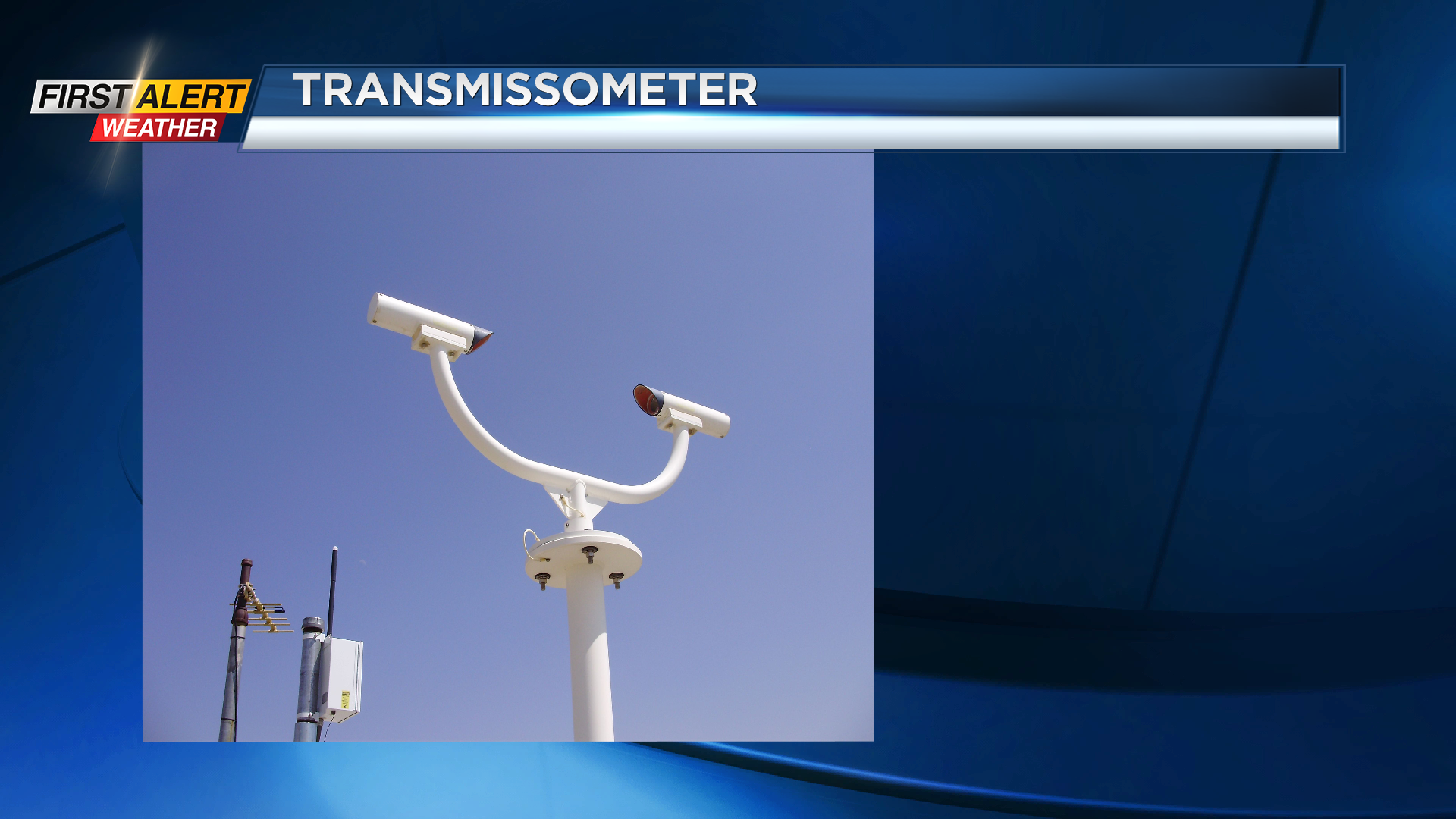
We also use something called “observed visibility” as a tool. This is measured at the Rochester Airport and is calculated in miles. During a 12-hour period on Monday morning, the visibility was reduced to just four miles. It has since improved, but for how long? This observation can be accomplished by a human observer as they pick out known landmarks on the horizon or you can use a device called a transmissometer. This is a sophisticated piece of equipment that measures with a column of light that is being projected from one side of the instrument to the other. How much light is being absorbed determines, in a highly calibrated manner, what is the visibility. This is another example of high quality data measured 24 hours a day, seven days a week.