First Alert Weather: Mild temperatures help to melt away the snow this weekend
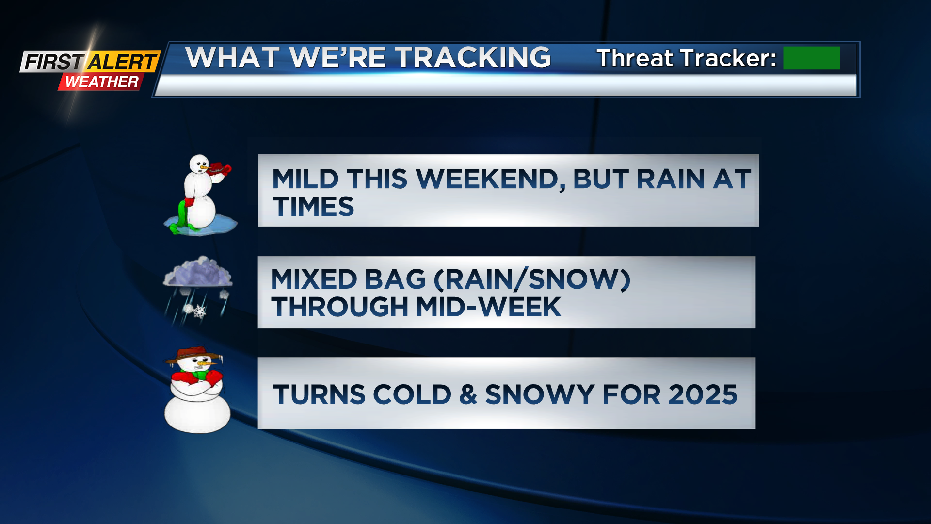
ROCHESTER. N.Y. After a good amount of time under cold and cloudy skies, the Rochester region will finally be seeing a break in the cold weather this weekend… But with that warm air comes melting snow, which will make conditions muddy at times, mainly Sunday when we’ll be dealing with some bouts of rain.
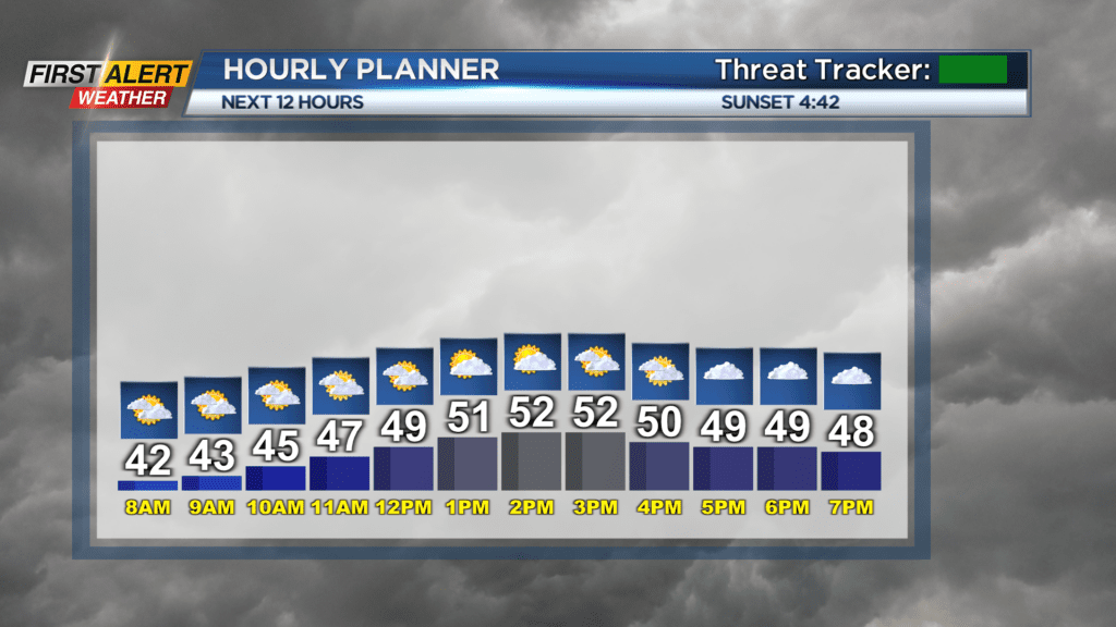
Saturday morning temperatures are spanning in the low 40s, and high temperatures today could get as high as the mid 50s for many. There are chances of a few brief showers this morning, but they will be light and won’t last long. The rest of Saturday is looking mostly cloudy and mild, which makes today a great day to go visit the Roc Holiday Village before it comes to a close tomorrow… Just remember to bring your boots, as the snow will start to turn to slush as those temperatures climb.

Sunday will feature rain showers mainly before noon and then starting again in the early evening. If you’re headed to the Bills game or stopping by for the Roc Holiday Village’s last day, make sure you wear a rain jacket, and again those boots as some areas will get slushy and muddy.
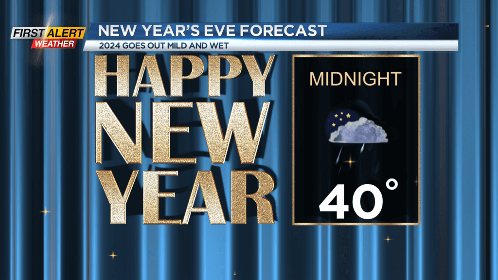
Looking ahead to the last few days of 2024, the weather starts to get active; featuring rain, mixed precipitation, snow showers, falling temperatures, and lake effect snow, oh my! Monday will see rain start to curl in from the west as a low pressure system moves through, with a chance for mixed precipitation and wet snow in the higher elevations. Tuesday will be mostly cloudy, until the leading edge of a second low pressure system comes along out of the Ohio River Valley and gives us some rain for the last few hours of the year. New Year’s Day will start with both rain and snow; the exact positioning of the rain versus the snow is TBD, but in general it’s a good bet that the higher elevations will see more wet snow than rain.
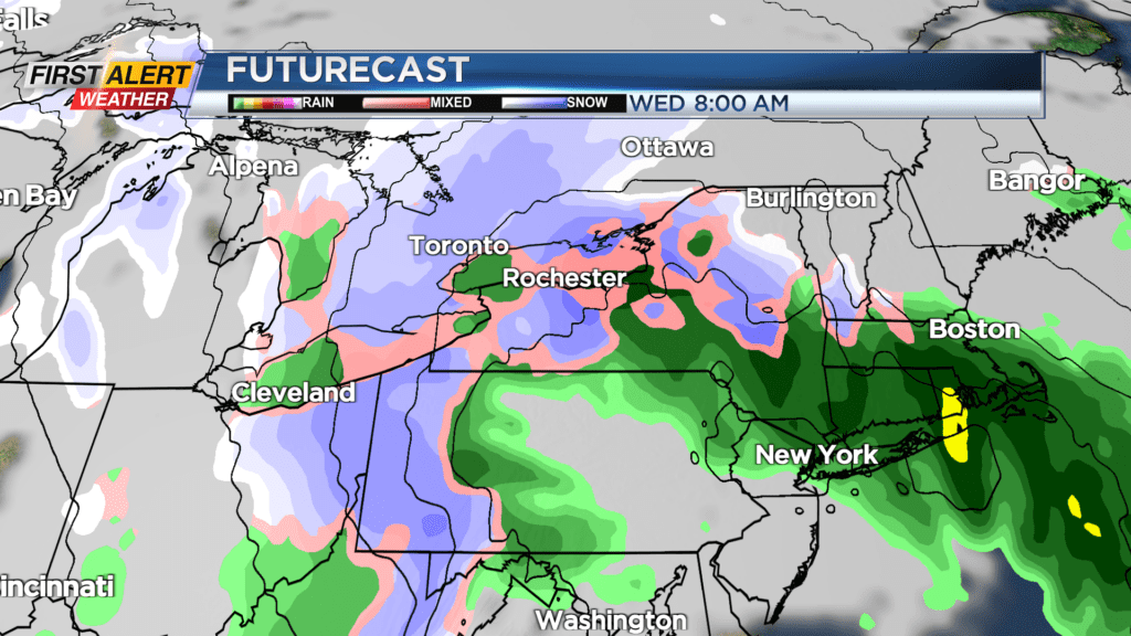
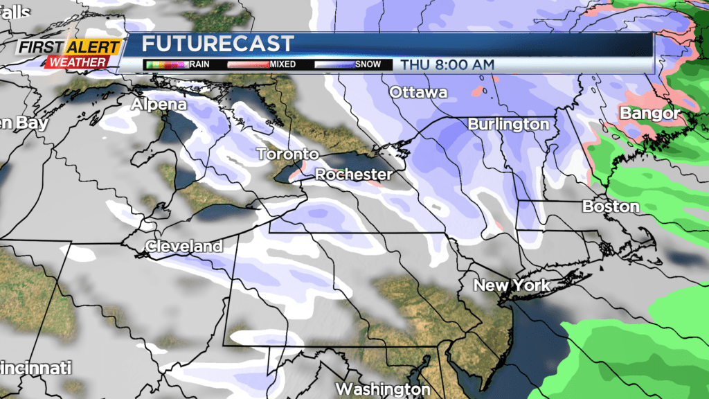
After that second low pressure system moves on to New England, west-northwest wind will follow behind it, bringing cold air over the relatively warm lakes, which means we’ve got another chance of lake effect snow to impact the region through the last half of the week. As is normally the case with lake effect snow, it’s hard to give an accurate forecast on where exactly it’ll hit this far out, but models suggest that Thursday morning is when the direction of snow bands may more noticeably affect the Rochester region. The snow bands then become more parallel with the lakes into Friday, before dipping a little more south next weekend.
We encourage you to stay tuned to News10 NBC to see how the New Year’s Eve/Day forecast develops, as well as that lake effect snow later in the week. Until then, enjoy the mild temperatures today and remember to wear your rain jacket tomorrow!
