First Alert Weather: Rain for New Year’s Eve, then snow to start 2025
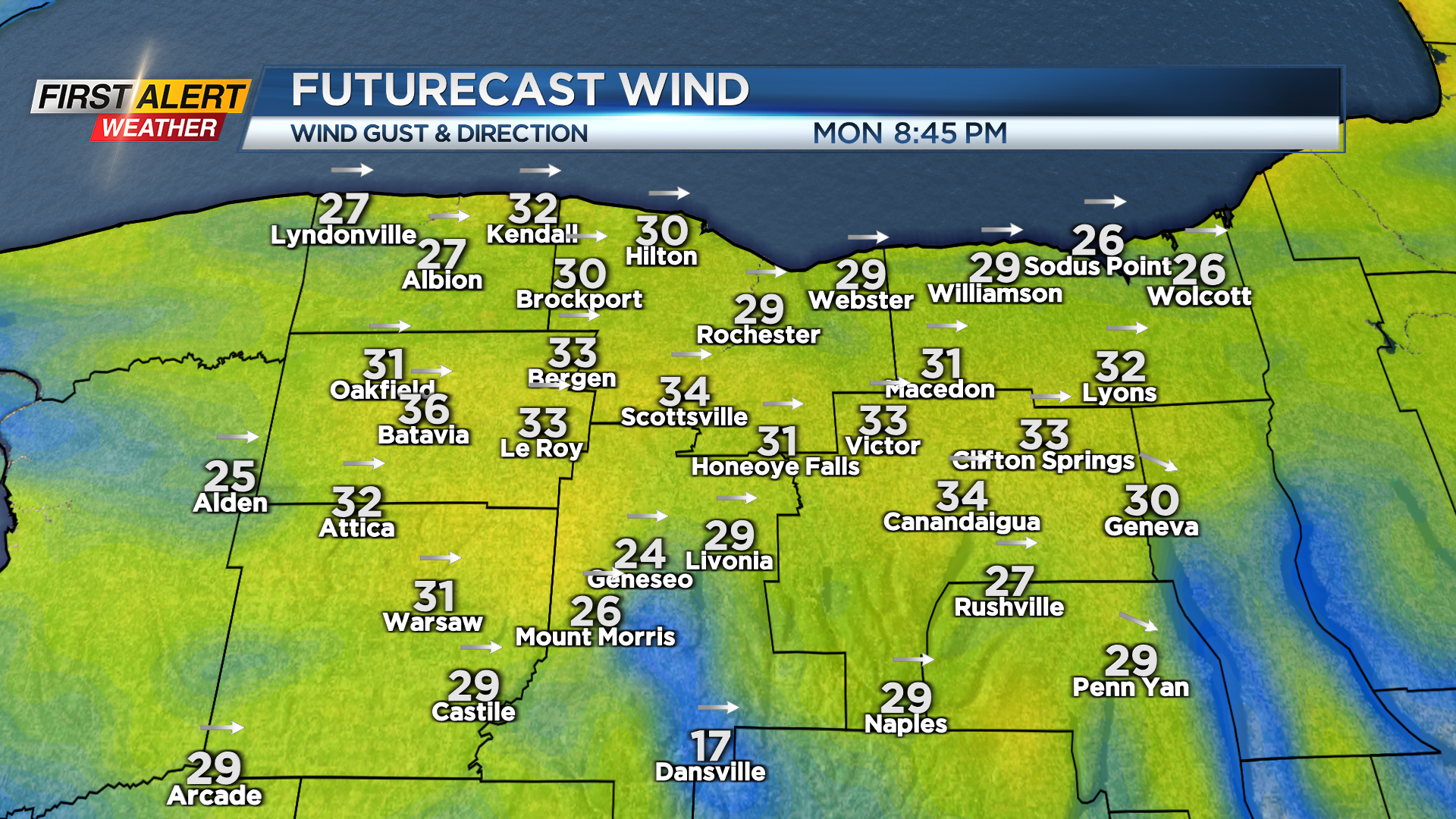
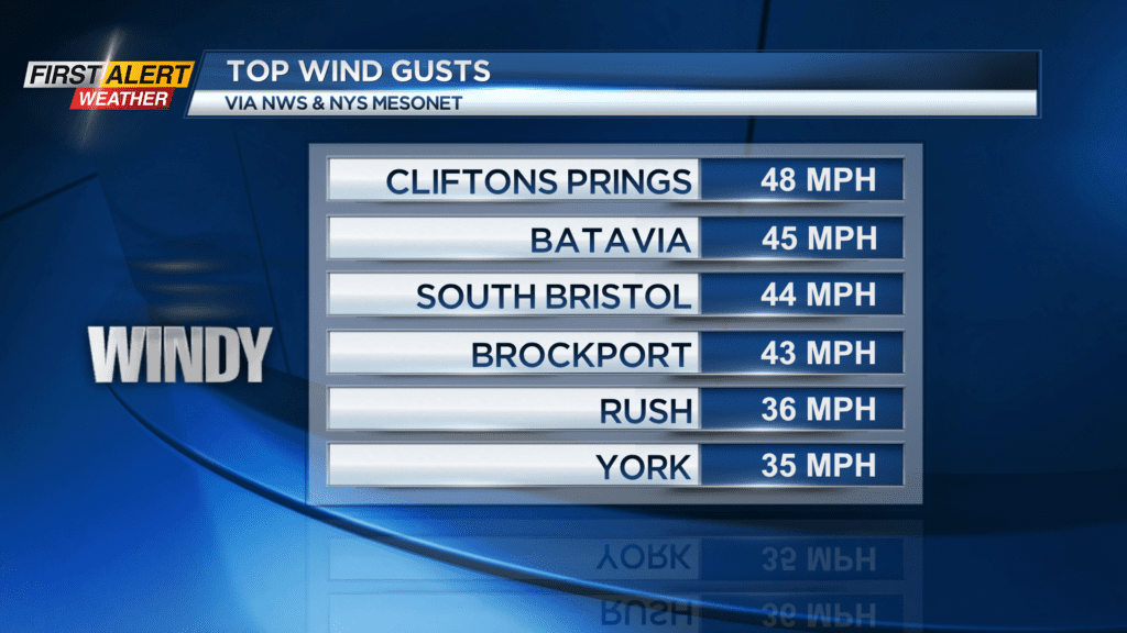
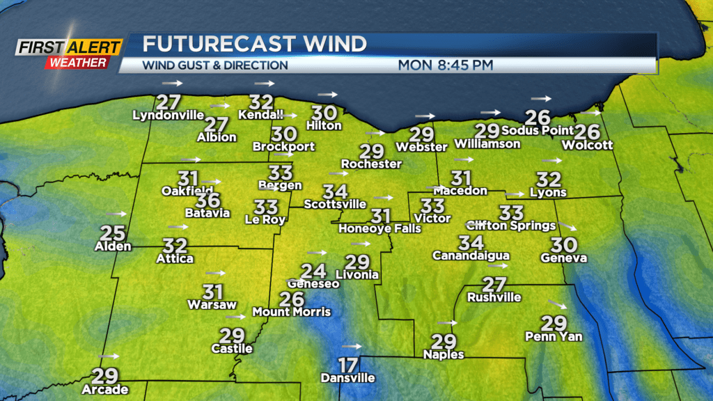
ROCHESTER, N.Y. — The gustiest winds from Monday are behind us, and the wind will continue to ease through Monday night.
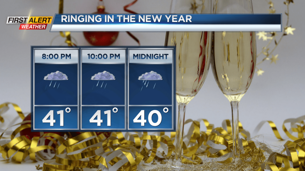
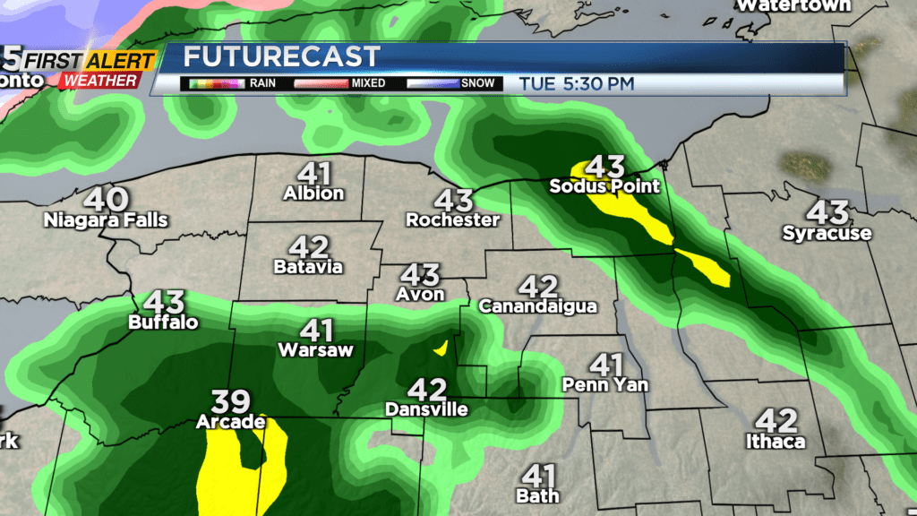
Tuesday starts off dry and calm with some limited breaks of sun, but clouds quickly fill in, and we’ll see our next round of rain showers by evening. If you have big New Year’s Eve plans, plan on packing the umbrella or rain coat, as we will continue to see some showers. Those showers will transition to snow showers and wet snow by Wednesday afternoon as colder air begins to work in. At the same time, winds will turn a little gusty. While we may see some snow during the Wednesday evening commute, temperatures should be just warm enough to prevent much accumulation on roads. That will change on Thursday.
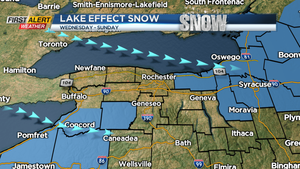
In fact, we’ll see a major pattern change taking shape starting Thursday. Much colder air begins to flow in. This will crank up the lake effect machine. A northerly component to the wind will keep the heaviest snow south of Buffalo, and mainly east of Rochester. That being said, we’ll monitor the bands as they move in later this week and into the weekend.
Next week may be turning even colder, with another blast of cold air from Canada. This will keep the lake effect snow going, and likely our coldest air of the season, right into the second week of January. We will need to monitor the snow and lake effect snow, and may have a few Alert Days in the next few weeks, as a much more active weather pattern takes hold.