First Alert Weather: Snow and cold return for the weekend

ROCHESTER, N.Y. — Friday night features rain changing over to wet snow. At the same time, temperatures begin to plummet.
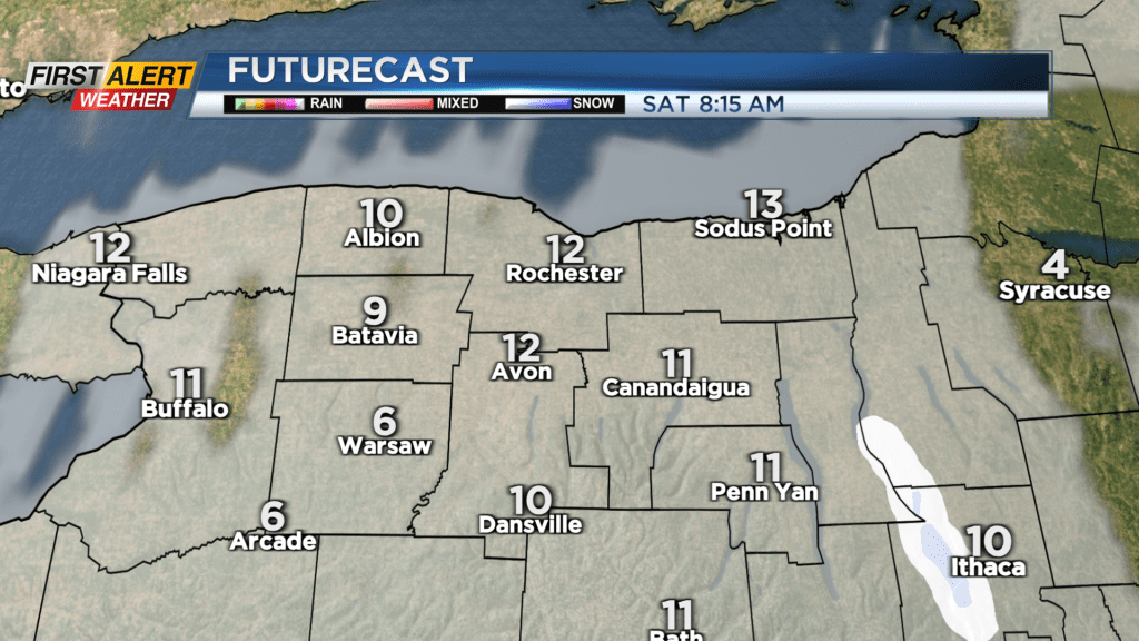
Snowfall will only accumulate a few inches, but the rain from the day and the wet snow will quickly freeze, making roads, sidewalks and driveways very slippery overnight. If you are out, make sure you take it slow and watch your step! The weekend starts off much colder, with temperatures in the teens, and not going anywhere.
Some light lake flurries may fall, especially through the morning, before a little afternoon sun returns. Still, this won’t help our temperatures at all. In fact, that partially clearing sky will allow temperatures to drop into the single digits briefly away from Lake Ontario before clouds begin to thicken.


Though it’ll be a cold start on Sunday, temperatures will rebound back into the lower 30s by the evening. Conditions for the Polar Plunge will be, COLD! temperatures likely climbing back through the teens into the lower 20s by then. Some snow showers will return by evening with a warm front, and our temperatures will actually continue their upward climb straight through Sunday night.
Next week will feature lots of ups and downs, with mild enough air for a few rain or snow showers later Monday, followed by 20s on Tuesday, then climbing again. There are some indications that we may be flirting with 50 by Thursday of next week. But, this time of the year, that will come at a cost, and that will be some rain.