First Alert Weather: Some snow in the forecast this weekend
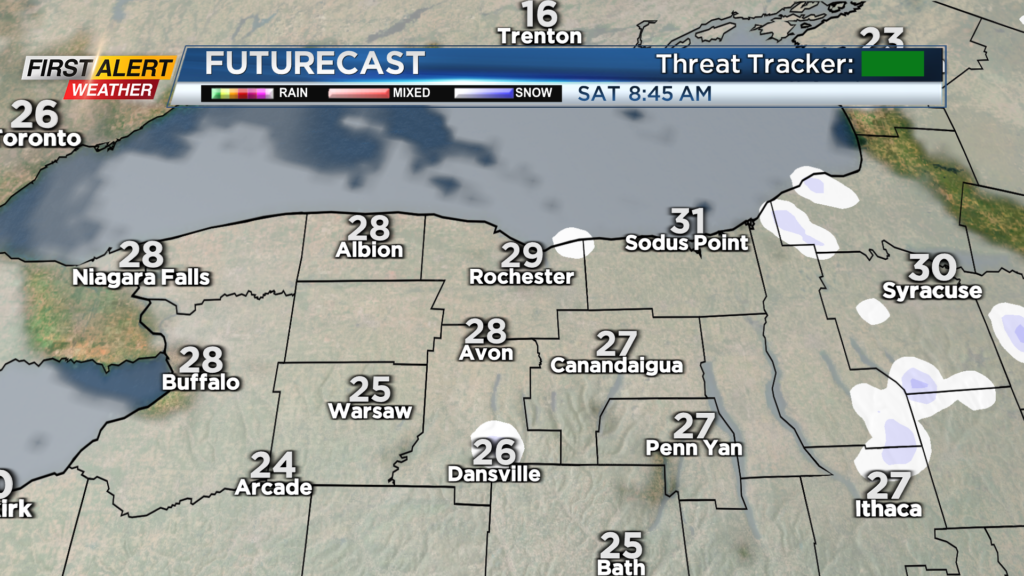
ROCHESTER, N.Y. We’ll start the weekend off with some lake effect snow showers Friday night into early Saturday.
Most will see nothing more than a fresh dusting on grassy surfaces. The rest of Saturday is mostly cloudy and mostly dry. Another storm system moves into the region on Sunday. We’ll see a dry start to the day, with light snow developing during the early afternoon.
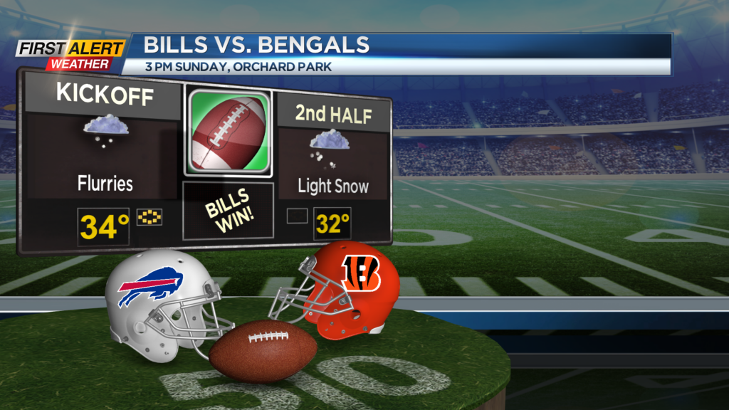
Light snow will fall through much of the Bills game, with a coating possible on the field, but we shouldn’t see issues on roads for the drive to or from the game. Temperatures on Sunday will hold in the mid-30s for much of the day. Snow showers taper by Monday morning, with most spots picking up another coating to an inch or two from this Sunday system.
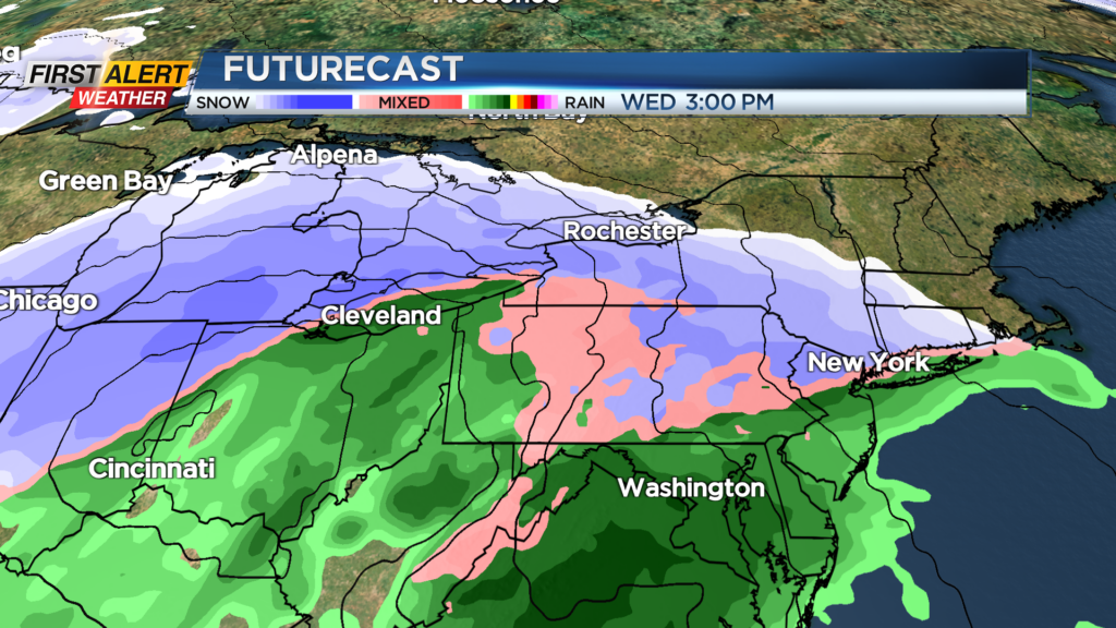
Flakes taper on Monday, with fairly quiet weather Tuesday. Our next storm system is forecast to move in on Wednesday. The track will dictate what kind of precipitation we see, but we’ll likely see at least some accumulating wet snow, before possibly mixing with or changing to rain at some point.
We may pull in some chillier air on the backside of the low on Thursday, ending the storm with some more snow. While we expect some accumulating snow, amounts this far out are still very questionable. Stick with News10NBC for updates throughout the weekend.