Yellow Alert: Strong to damaging winds Tuesday night
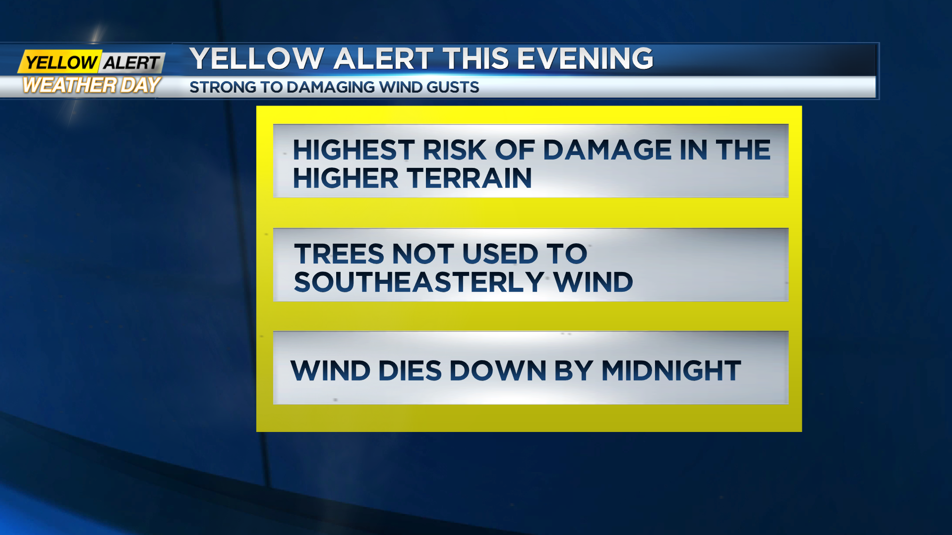
ROCHESTER, N.Y. – A Yellow Alert remains up for strong to damaging winds across Western New York. We’re seeing wind gusts producing damage and power outages across the area, and this threat will continue through about 10 or 11 p.m., before winds begin to ease somewhat. What is unusual, and thus causing issues with this event is the direction of the strong winds. Our prevailing wind direction is generally out of the west. Thus, trees tend to grow to better withstand winds from that direction. Because of this, it will take a less intense wind to uproot some shallow rooted trees, especially pines. Rain will be fairly steady through the evening before becoming more scattered toward midnight.
Wednesday will feature falling temperatures and some scattered snow showers (no accumulation) by the afternoon. We’ll also feel the wind picking up again, but not to the extent of Tuesday’s winds. Some gusts will push 40-45 mph out of the west, and the only damage we expect would be from limbs that were knocked loose, but didn’t break or fall on Tuesday. So a few spotty outages are possible Wednesday, but that should do it. Our next storm system arrives later on Friday with some wet snow, changing over to rain overnight, then back over to some snow and lake effect over the weekend as temperatures tumble. If you have plans to attend the Bills game in Orchard Park on Sunday afternoon, plan on winter weather! We’ll update that forecast as we get closer.