First Alert Weather: Tracking an End of the Week Storm with a Yellow Alert in Effect
ROCHESTER, N.Y. — It wasn’t the most pleasant weather for Western New York for Sunday. Gray skies with occasional wet snow and rain made for a damp, cold, and raw end to the weekend.
Some areas did report a coating of snow on grassy surfaces, but with temperatures mainly above freezing there was no impact on area roadways.
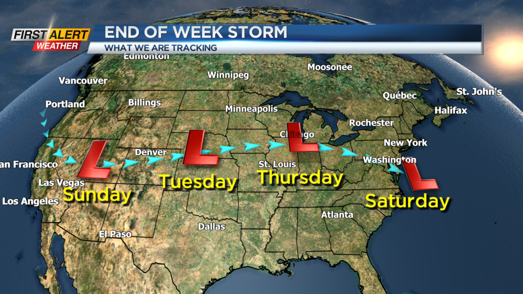
The first half of the week will be uneventful, but the News 10NBC First Alert meteorologists are tracking a storm that will travel across the country arriving in the great lakes and the northeast by Thursday and Friday.
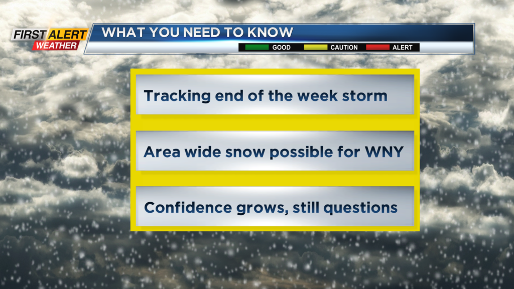
Still many questions about the precise details of the storm, but some significant winter precipitation is possible. As a result, the News 10NBC First Alert weather team has issued a yellow alert for Friday.
Sunday night look for snow showers to taper to scattered flurries overnight. Any accumulation should be limited to less than an inch.
As the temperature falls below freezing, the recommendation is to watch the bridges and overpasses for slippery spots. Monday will bring early morning flurries with mainly gray skies, but skies may brighten by the end of the day.
The high temperature will only be in the lower 30s. Tuesday and Wednesday look dry with partial sunshine. However, it will be chilly again with the temperature remaining in the lower 30s for both days.
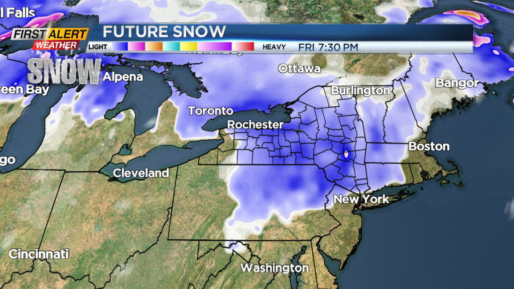
Thursday will start with some sunshine, but the clouds will increase. The high temperature in the upper 30s. Then some mixed precipitation is possible Thursday night with accumulated snow a possible threat for Friday.
At this time, there are still significant questions about type, amount and timing of the wintry precipitation. Stay tuned to News 10NBC First Alert to updates on the forecast.
______________
Download the WHEC First Alert Weather app to stay up to date while on the go.
Watch the latest full forecast online.