First Alert Weather: Record tying warmth for the last day of Winter

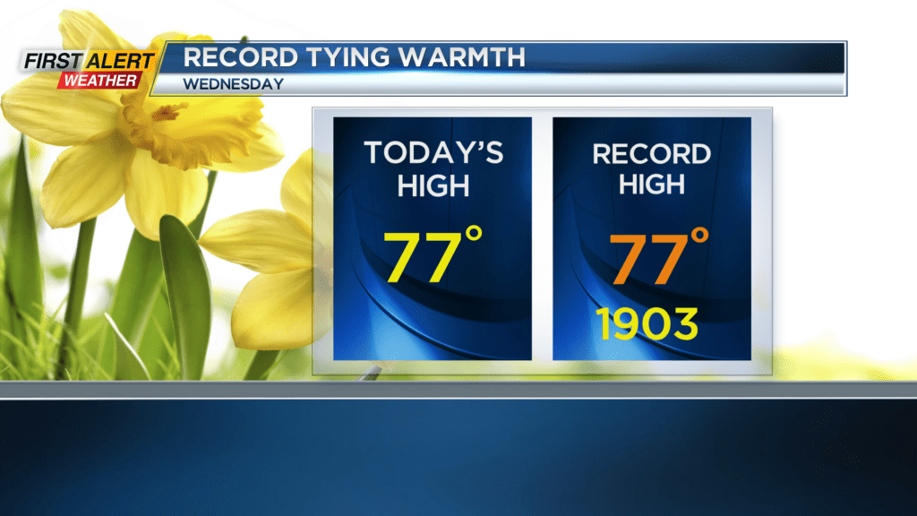
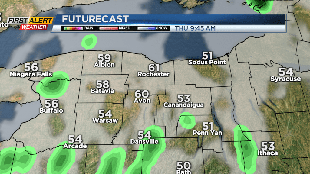
ROCHESTER, N.Y. – The last day of Winter in western New York felt more like early summer, with high temperatures in the mid and upper 70s across the Rochester and Finger Lakes regions. In fact, we tied the old record high for today’s date of 77° set back in 1903! But we’re going to return to reality on Thursday. A cold front crossing the region will bring some occasional showers to us, along with falling temperatures. We’ll start the day on the mild side in the upper 50s and lower 60s, but we’ll fall back into the lower 40s by late evening, and 20s to start Friday!
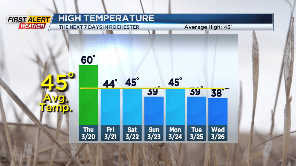
Friday will see a good deal of sunshine making a return following Thursday’s front. It’ll be a much colder day compared to where we’ve been lately, but it’ll actually be much closer to average for mid to late March. Our average high sits in the mid 40s.
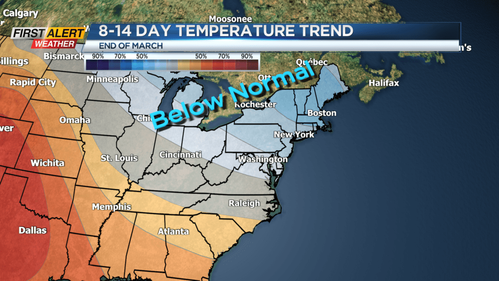
The weekend will see another system moving in, with scattered rain showers, and temperatures in the mid 40s, falling later in the day. This will set us up for a cooler day on Sunday, but a dry day with some sun. Another storm system moving in early next week will bring another round of rain showers, but this will tend to stall out over the Great Lakes, keeping us a little cooler than average, and much cooler than where we spend the first half of March. In fact, it’ll be chilly enough for a few snow flakes at times next week, but nothing that you should have to shovel at this point.