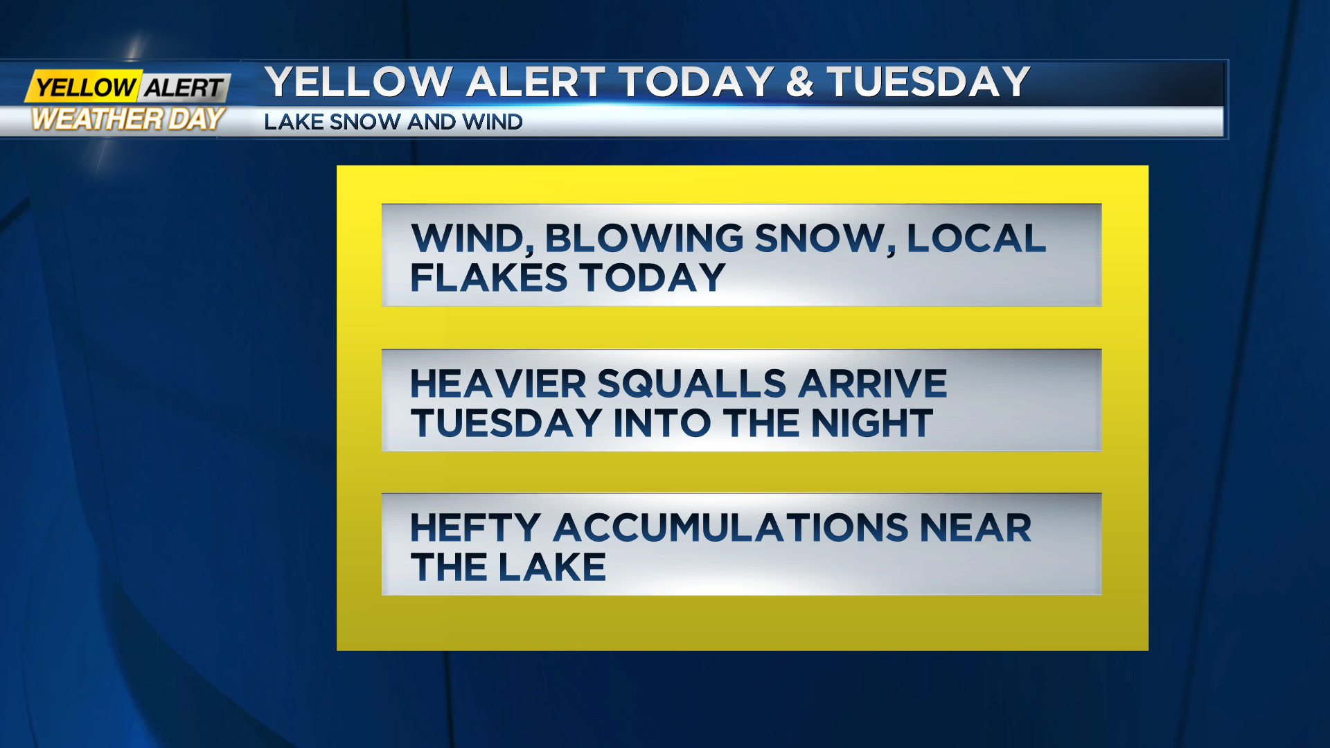
Yellow Alert on Monday and Tuesday: Wind and cold with areas of lake effect snow
ROCHESTER, N.Y. – The harsh winter weather will continue into Tuesday night with local lake effect snow, bringing moderate to heavy accumulations later Tuesday near Lake Ontario.
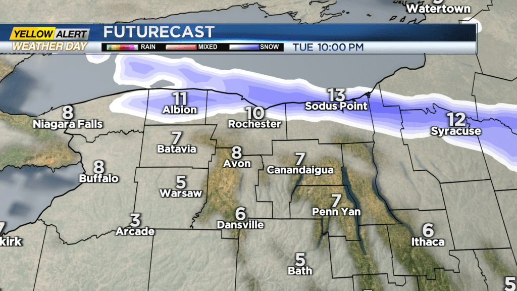
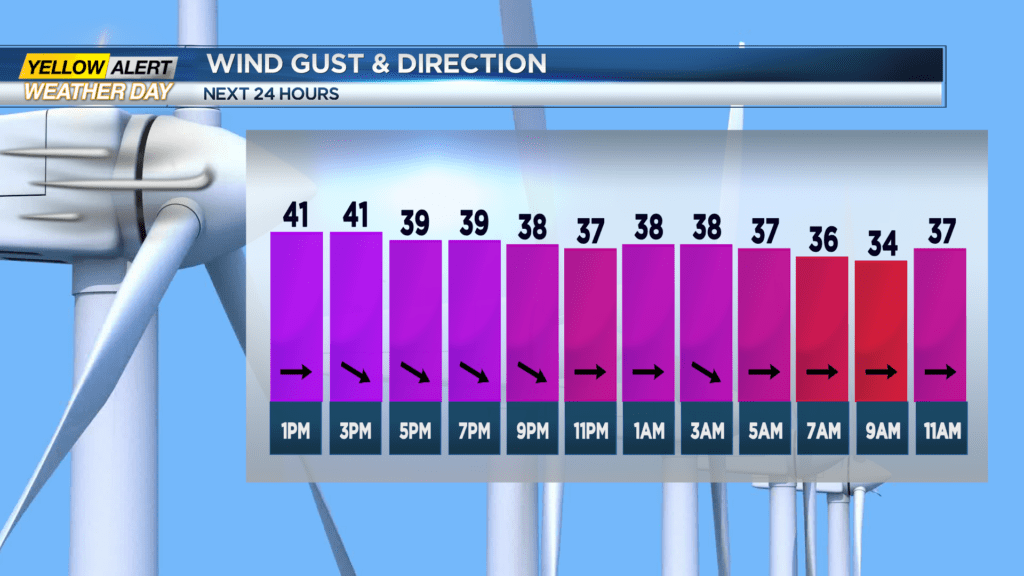
Wind gusts over 40 mph will bring considerable blowing snow and reduced visibilities and a feel-like wind chill below zero at times into tonight. Lake effect snow will add up over time with bursts of snow on Monday and Tuesday, bringing a few inches and then a heavier area of snow later Tuesday into Tuesday night.
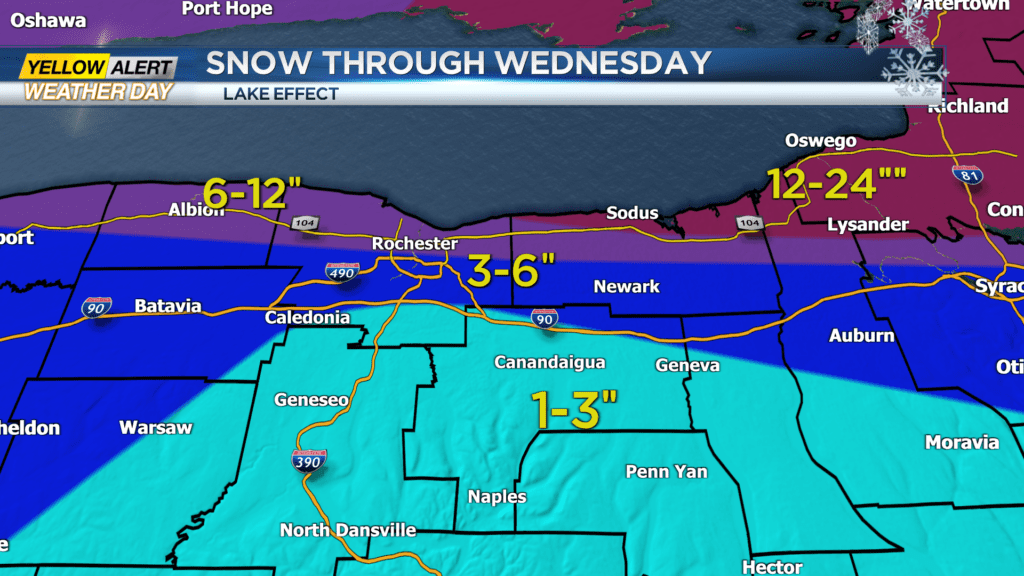
Snow totals the next couple of days will be three to six inches north of the Thruway with six to twelve inches near and north of 104 with areas of Wayne County near and east of Sodus perhaps over a foot of snow.
Lake snow will begin to exit the region on Wednesday morning. Another coastal storm will develop later in the week but appears to be far enough to the east to mainly miss the Rochester region. Even though the storm misses we may get some lake effect snow again on Thursday or Friday.
Stay tuned to News10NBC for the latest on the shifting lake effect snow bands this week.