Yellow Alert: Severe storm and local flooding possible Wednesday
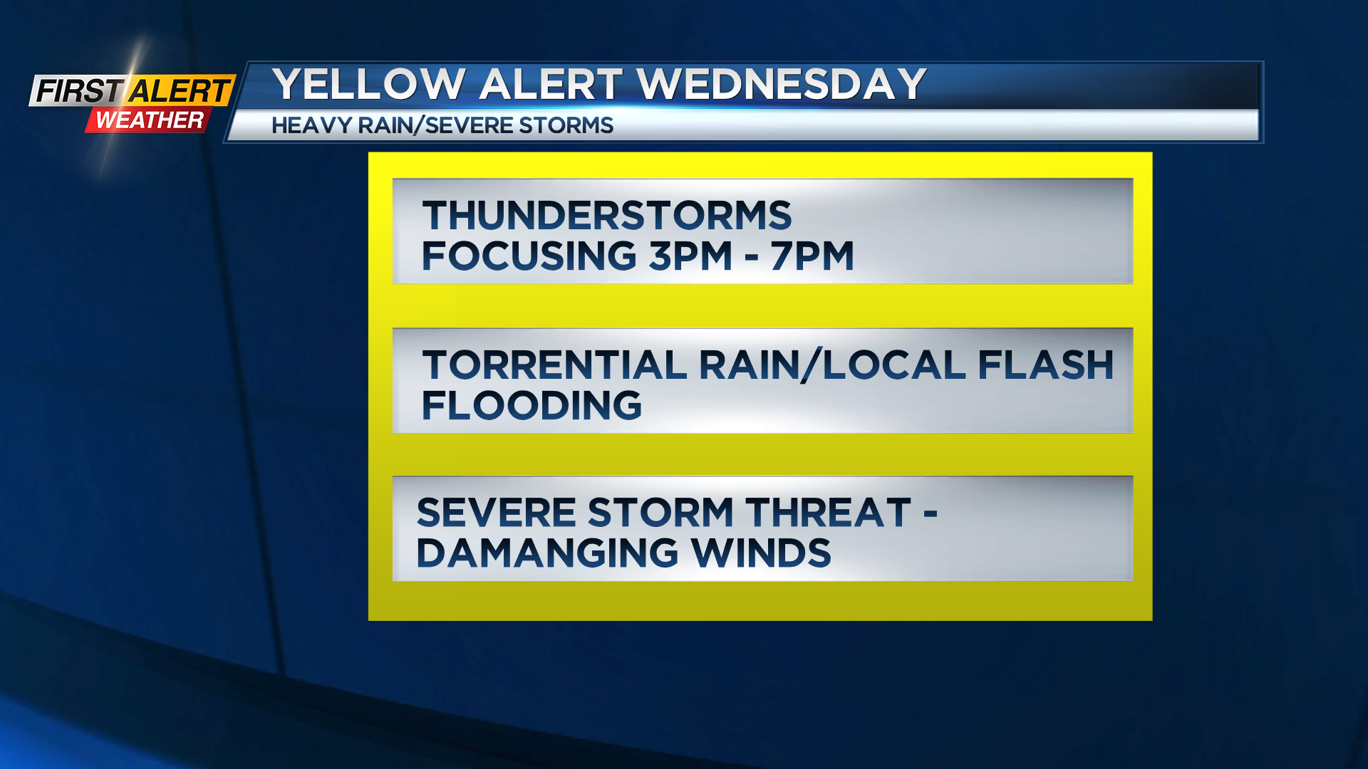
ROCHESTER, N.Y. – What’s left of Beryl is tracking in our direction, and will bring a plethora of active weather to our area on Wednesday. Moisture will continue to build overnight, with some showers and a few storms developing, especially toward morning. It’ll be a very muggy and mild night, with temperatures not dropping out of the 70s. A warm front lifting through will bring some downpours and a few isolated storms in the morning, but the storm threat and severe weather threat will go up during the afternoon hours. The window for the most widespread storms appears to be between about 2 p.m. through 7 p.m. During this time, expect scattered storms, a few of which could be strong to severe with damaging wind gusts. The main wind impact would be from straight-line winds, but there is naturally more spin in the atmosphere with the remnants of tropical systems, so a brief tornado isn’t out of the question, especially in the Finger Lakes.
Any thunderstorm will also drop torrential rain, so some localized flash flooding is a possibility as well. Wednesday has the potential to be one of the busier weather days we’ve seen so far this season, so stay with the First Alert Weather team for updates on-air, online, and on social media.
Storms wind down quickly Wednesday night, with a few lingering showers into Thursday, before much quieter and drier weather returns on Friday.